Seneca County, New York
Check your Seneca County registration.
Confirm what New York has on file first, then use Seneca County's official election channels below.
Check my registration with Scan Check ProtectUse the official New York lookup
.jpg)
Profile
About Seneca County
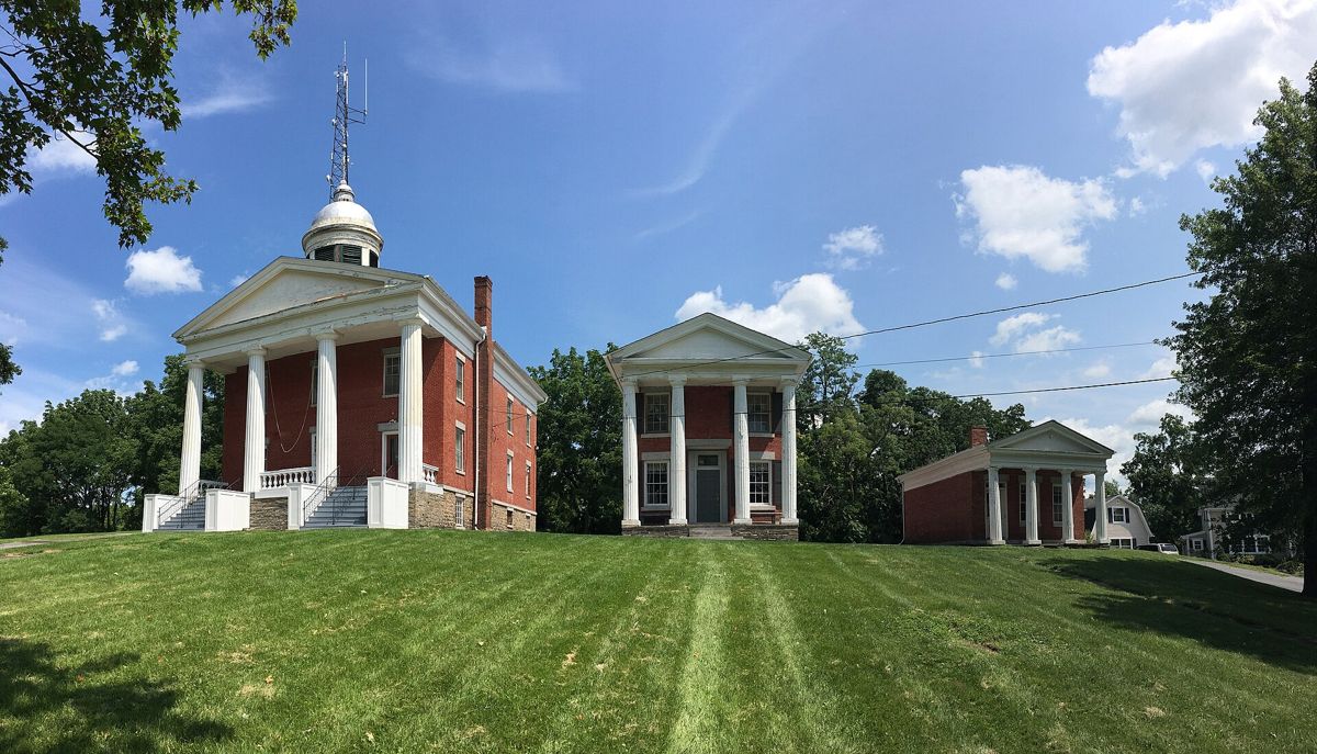
Seneca County is a county in the U.S. state of New York. As of the 2020 census, the population was 33,814. The primary county seat is Waterloo, moved there from the original county seat of Ovid in 1819. It became a two-shire county in 1822, which currently remains in effect and uses both locations as county seats although the majority of Seneca County administrative offices are located in Waterloo. Therefore, most political sources list only Waterloo as the county seat. The county's name comes from the Seneca Nation of the Haudenosaunee (Iroquois), who occupied part of the region. The county is part of the Finger Lakes region of the state.
Description adapted from Wikipedia, CC BY-SA 4.0.
Facts
Seneca County at a glance
- County seat
- Waterloo
- Population
- 33,814 (2020)
- Land area
- 325 sq mi
- Founded
- 1804
Communities
Largest communities in Seneca County
- GenevaPopulation 12,812
- Seneca FallsPopulation 9,027
- Waterloo County seatPopulation 7,378
- FayettePopulation 3,657
- RomulusPopulation 3,203
Background
History of Seneca County
The area covered by Seneca County straddles the prehistoric territories of both Seneca and Cayuga Nations of the Haudenosaunee. This county was reduced in size on July 3, 1766, by the creation of Cumberland County, and further on March 16, 1770, by the creation of Gloucester County, both containing territory now in Vermont. On March 12, 1772, what was left of Albany County was split into three parts, one remaining under the name Albany County. One of the other pieces, Tryon County, contained the western portion (and thus, since no western boundary was specified, theoretically still extended west to the Pacific). The eastern boundary of Tryon County was approximately five miles west of the present city of Schenectady, and the county included the western part of the Adirondack Mountains and the area west of the West Branch of the Delaware River.
Adapted from Wikipedia, CC BY-SA 4.0.
Start here
Confirm you're ready to vote in Seneca County
-
Run a guided check
Scan Check Protect walks you through verifying your New York registration and flags anything that needs fixing — free.
-
Ask Seneca County directly
Your county election office handles registration, mail ballots, and polling places.
Official channels
Seneca County election resources
- Seneca County — county websitesenecacountyny.gov
- Elections / voter servicessenecacountyny.gov
- All New York county election officeselections.ny.gov
Statewide tools and every New York resource in one place: the New York page at Scan Check Protect →
Next door
Neighboring counties
Part of New York Voter Check
This is the Seneca County page of New York Voter Check, a project of True the Vote, pointing New York voters at the official tools that already exist — and at Scan Check Protect to verify your registration.
Where anything here differs from what Seneca County or the New York State Board of Elections publishes, they are right and this page is not.